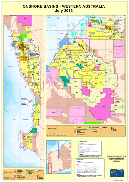
Onshore Basins Map - West Australia.
Published with up to date data from 2013, this map provides specific information on the tenements of the Perth Basin, and the Canning Basin, including detailed coverage of the northern section.
Map supplied in two sizes, and supplied laminated.
Allow 4 - 6 working days for delivery.
Custom Sizes can be supplied to suit client needs.
Data supplied courtesy of WA Department of Mines and Petroleum.


