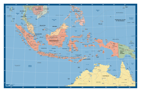
Indonesia - Custom Political Map
A newly published map of the Island chain of national Indonesia, with all main and secondary cities included, along with main road systems and waterways. This map also has a useful near nation coverage, including northern Australia, PNG, East Timor, Christmas Island, Malaysia, Southern Thailand, Cambodia, Vietnam and Singapore, giving a comprehensive picture of Indonesia's regional geographical relationships.
Made to Measure Variations..A wide variety of Customized sizes and images can be printed to include..
and mounted, or direct printed onto foam board or magnetic sheet etc.
Please allow 5- 8 working days for delivery.


