WA Roads & Resources - Pilbara Map
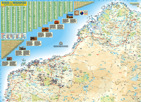
This laminated customized map of the Pilbara & Kimberley region, is the enlarged northern section of the Q.P.A Western Australia Road map, and has been overlaid with the latest 2013 W.A. Department of Mines and Petroleum data.
The map with this data on is specifically designed to compliment the highly detailed road network and assist the state's transport and commercial sectors.
The map shows proposed and active projects with a CAPEX of $20 million or more, with very detailed road networks.
Map Supplied .. 950 mm x 1400 mm Laminated.
Custom Variations..
This map can be made to fit client sizes, and also comes a part of a two map set to build Western Australia mining mega map. The Pilbara and Mid West sections can be assembled to create a WA Megamap 1300 mm x 1900 mm laminated. Please allow 4 - 6 working days for delivery.


